OpsNav: Web and Mobile Planning App for Forestry Operations
How our business analysts shaped OpsNav, a web and mobile forestry planning app with GIS mapping and real-time sync that cut planning time by 40%.
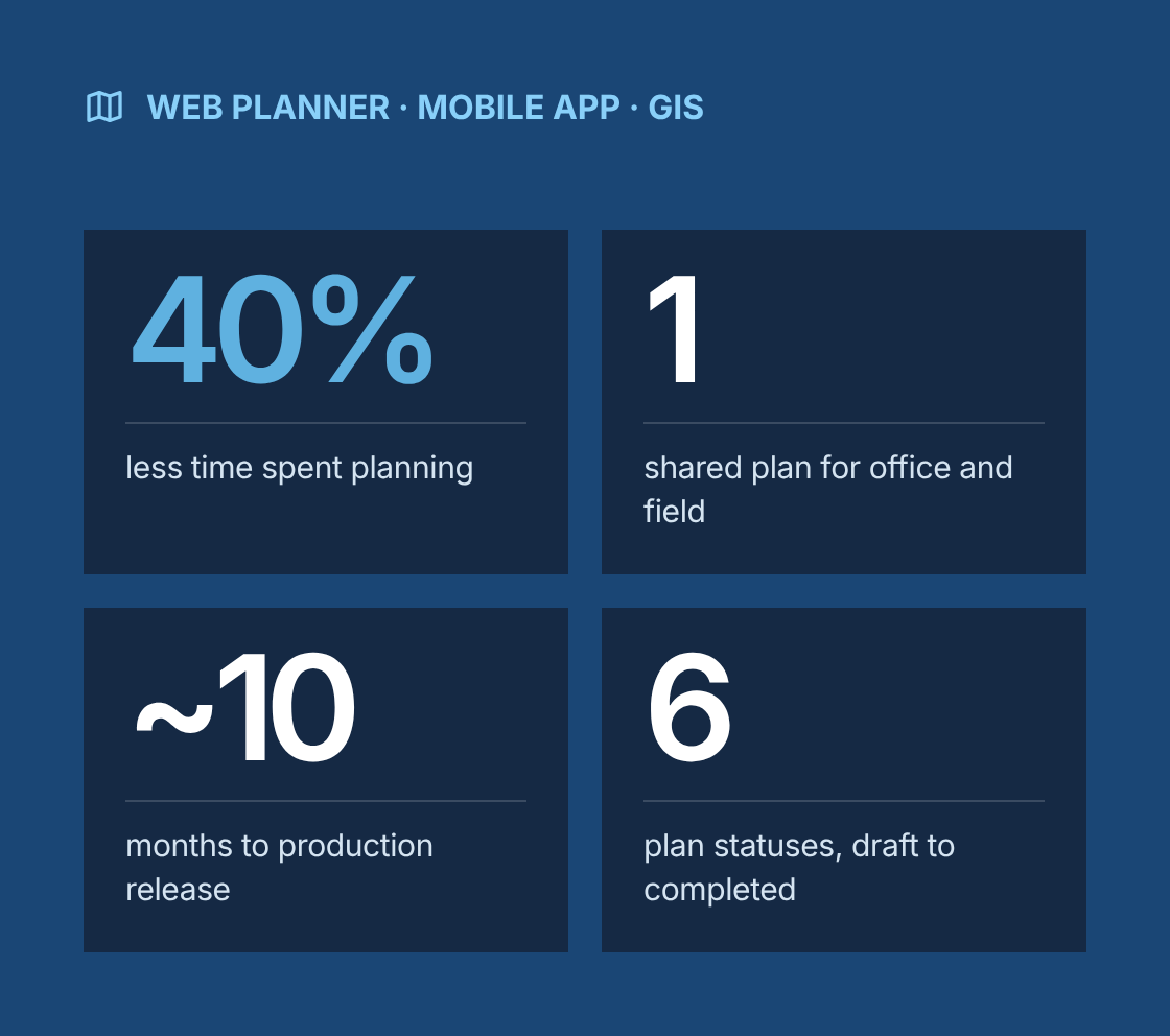
- 40% less time spent planning operations
- 1 current version of every plan, shared by office and field
- ~10 months from discovery to production release
- 6 plan statuses, from draft to completed
Project at a glance
- Client
A US forestry operations company planning and managing harvest work across many sites with office planners and field crews - Solution
OpsNav, a cross-platform application with a web planner for the office and a mobile app for the field, built-in GIS mapping, and real-time sync between the two - Engagement
Business analysis and functional design support within an Agile product team, delivered remotely from Canada with field testing sessions - Duration
About 10 months, from discovery to production release, followed by iterative enhancements - Our role
Lead business analyst, working with the client's operations managers, foresters and field supervisors, a UX designer, web and mobile developers, a GIS specialist and QA - Scope
Functional and technical requirements, user stories, workflows, wireframes, GIS integration requirements, usability testing on field devices and requirements traceability
The challenge
What problem was the client trying to solve?
Operations were planned in the office and changed in the field, but the two sides had no shared, current version of the plan.
- Printed maps out of date
Planners designed harvest operations on desktop GIS and printed maps for crews, so plans were out of date as soon as conditions on site changed. - Field changes reported days later
Field changes, such as a moved landing, a new skid trail or a wet area to avoid, were sketched on paper and reported back days later. - The same map drawn three times
Planners redrew the same information several times, once for the plan, again for approvals and again for as-built records. - Buffers checked by hand
Buffers around streams, property lines and other constraints were checked by hand, which made compliance reviews slow and error-prone. - No view across sites
Supervisors had no easy way to see the status of each operation across all active sites. - Little or no mobile coverage
Many sites had little or no mobile coverage, so any field tool had to work offline.
Our business analysis approach
How did we approach the engagement?
We built the requirements around one shared operation plan that moves through a clear life cycle, from draft in the office to as-built in the field.
- Discovery and field observation
We interviewed operations managers, foresters, planners and field supervisors, and joined site visits to watch how plans were used and changed on the ground. We mapped the as-is planning process in BPMN, from site assessment to completion records. - Personas and use cases
We defined personas for office planners, foresters approving plans, field supervisors and equipment operators. Use cases covered creating a plan, reviewing and approving it, adjusting it on site, and recording what was actually done. - Operation life cycle design
We defined plan statuses (draft, in review, approved, active, adjusted in field, completed) with the rules for moving between them, who can make each change, and what gets recorded at each step. - Functional and technical requirements
We documented requirements separately for the web planner and the mobile app, plus shared requirements for sync, security, offline behaviour, performance and device support. - User stories and wireframes
We wrote user stories with acceptance criteria and produced wireframes for key screens. These included the map workspace, the layer panel, drawing and editing tools, the operation checklist and status views. Wireframes were reviewed with planners and field supervisors before design started. - Custom forestry workflows
We mapped workflows for designing harvest boundaries, placing landings, skid trails and access roads, marking exclusion and buffer zones, assigning crews and equipment, and recording field changes with notes and photos. - GIS integration requirements
With the GIS specialist we defined integration points with the client's GIS environment. These covered base maps and imagery, property and stand layers, import and export of spatial data, coordinate systems, offline map packages, and GPS positioning on mobile devices. - Sync design
We specified how plans and field edits sync between web and mobile, including offline editing, sync on reconnect, conflict handling when office and field edit the same feature, and a change history for every edit. - Agile delivery and testing
We took part in sprint planning and backlog refinement, kept stories ready for development, and led usability testing on the rugged tablets and phones crews actually use, in real field conditions.
Solution
What did we deliver?
Area
Problem
What was delivered
Web planner
Plans drawn in desktop GIS and printed
Browser-based map workspace for designing operations, with drawing and editing tools for boundaries, landings, trails and roads
Mobile field app
Paper maps and sketches
Mobile app showing the current approved plan, the user's GPS position and all relevant layers, with field editing
Real-time sync
Field changes reported days later
Two-way sync between web and mobile, with offline editing, sync on reconnect and conflict handling
Constraint layers
Buffers and boundaries checked by hand
Layers for streams, buffers, property lines and exclusion zones, with warnings when a planned feature crosses a constraint
Approval workflow
Approvals by email and printouts
In-app review and approval with plan statuses, comments and a full change history
Field change capture
Changes recorded on paper
Field edits with notes, photos and location, flagged for planner review
Crew and equipment assignment
Assignments tracked separately
Assignment of crews and equipment to operations, visible to office and field
Operations overview
No view across sites
Status dashboard showing every operation by stage, site and crew
As-built records
Final records redrawn manually
Completed plans with field adjustments saved as the as-built record, exportable to GIS
Testing
How did we test the app in real conditions?
Field tools fail in the field, not in the office, so we tested where the work happens.
- Usability testing on real devices
Field supervisors and operators completed realistic tasks on rugged tablets and phones, including finding their position, checking a buffer and recording a moved landing. Sessions covered glare, gloves and one-handed use. - Offline and sync testing
We tested editing with no signal, weak signal and reconnection, including deliberate conflicts between office and field edits on the same feature. - Map performance testing
We checked loading times for large map areas and imagery on field devices, and set limits for offline map package sizes. - Functional testing and UAT
Test scenarios came from acceptance criteria. Planners and supervisors ran UAT on end-to-end workflows before each release.
Governance
How did we manage requirements through delivery?
Every requirement was traceable from a field or office need to tested functionality.
- A requirements traceability matrix linked business needs to user stories, wireframes, GIS integration points, test cases and releases.
- Backlog refinement sessions kept stories ready for at least the next two sprints, with open questions resolved before sprint planning.
- Changes from usability testing were logged, prioritized with the product owner and scheduled into upcoming sprints.
- A glossary of forestry and GIS terms kept developers, designers and business users using the same language.
Which BA techniques and tools did we use?
Techniques
- Stakeholder interviews
- Field observation
- BPMN process modelling
- Personas and use cases
- State modelling for the operation life cycle
- User stories with acceptance criteria
- Wireframing
- Integration requirements
- Non-functional requirements for offline use and performance
- Usability testing
- Requirements traceability
- Backlog refinement
Tools
- Jira
- Confluence
- Figma
- Miro
- Microsoft Visio
- ArcGIS
Results
What were the results?
- 40% less time spent planning operations
- 1 current version of every plan, shared by office and field
- ~10 months from discovery to production release
- 6 plan statuses, from draft to completed
- 40% reduction in planning time
- 1 current version of every operation plan, shared between office and field
- Stronger coordination between field crews and office staff, with field changes visible as soon as devices synced.
- Faster, more consistent constraint checks through buffer and boundary layers with built-in warnings.
- Rapid user adoption across the organization.
- As-built records produced as part of normal work instead of redrawn after the fact.
- A documented backlog, workflow models and requirements base for future releases.
“
Lessons learned
What can other field operations teams learn from this project?
- Define the life cycle of the core record first. Statuses, permissions and history decide most of the design.
- Test on the devices and in the conditions crews actually work in. Office testing misses glare, gloves and lost signal.
- Plan for conflicts in sync design. Office and field will edit the same thing, so decide early how that is resolved.
- Make constraints visible in the tool, not just in a policy document. Warnings at the point of planning prevent costly mistakes.
- Capture as-built data as part of the workflow. If it needs a separate step, it will not get done.
Is your plan out of date the moment crews reach the site?
Talk to a senior business analyst about web and mobile tools that keep office plans and field changes in one place, even without a signal.
OpsNav: Web and Mobile Planning App for Forestry Operations
Project Description
This project involved the creation of OpsNav, a cross-platform application built to streamline the planning and execution of forestry operations. Designed for use both in the office and on-site, the solution featured real-time sync between web and mobile, allowing teams to design, adjust, and manage forestry activities directly from the field. With flexible workflows and built-in mapping capabilities, OpsNav empowered users to make faster, more informed decisions. The platform helped cut planning time by 40%, strengthened coordination between field crews and office staff, and achieved rapid user adoption across the organization.
Delivered Value
- Captured and defined technical and functional requirements for web and mobile interfaces
- Produced user stories, workflows, and wireframes to support design and development
- Worked closely with stakeholders to ensure the tool matched field operations
- Mapped out custom workflows tailored to forestry planning processes
- Defined integration points for GIS systems and interactive mapping features
- Led usability testing with real-world field devices to validate performance
- Maintained end-to-end requirements tracking throughout the development cycle
- Actively participated in Agile planning and backlog refinement